FoGP logo

Historical Maps

HISTORICAL MAPS

Verugo's-Rancho-Los-Feliz

Historical Map of Land Plot

California State Archives map shows grant awarded to Jose Vicente Feliz in 1700s.

Click on image to view larger version.

Historic Map of Los Feliz and Griffith Park

Historical Los Angeles Map showing 1802 Rancho Los Feliz Land Grant

Click on image to view larger version.

Rancho Los Feliz

Rancho Los Feliz

Click on image to view larger version.

2007-Griffith-Park-Fire

Map of the 2007 Griffith Park Fire

On May 8th, 2007, a fire broke out in Griffith Park. By the time it was contained the blaze had burned over 800 acres of parkland.

This animated series shows the progression of the fire over the course of the afternoon and evening of the 8th.

Courtesy Cartifact.

Historic-Cultural-Monument

Griffith Park Historic Resources

Click on image to view larger image.

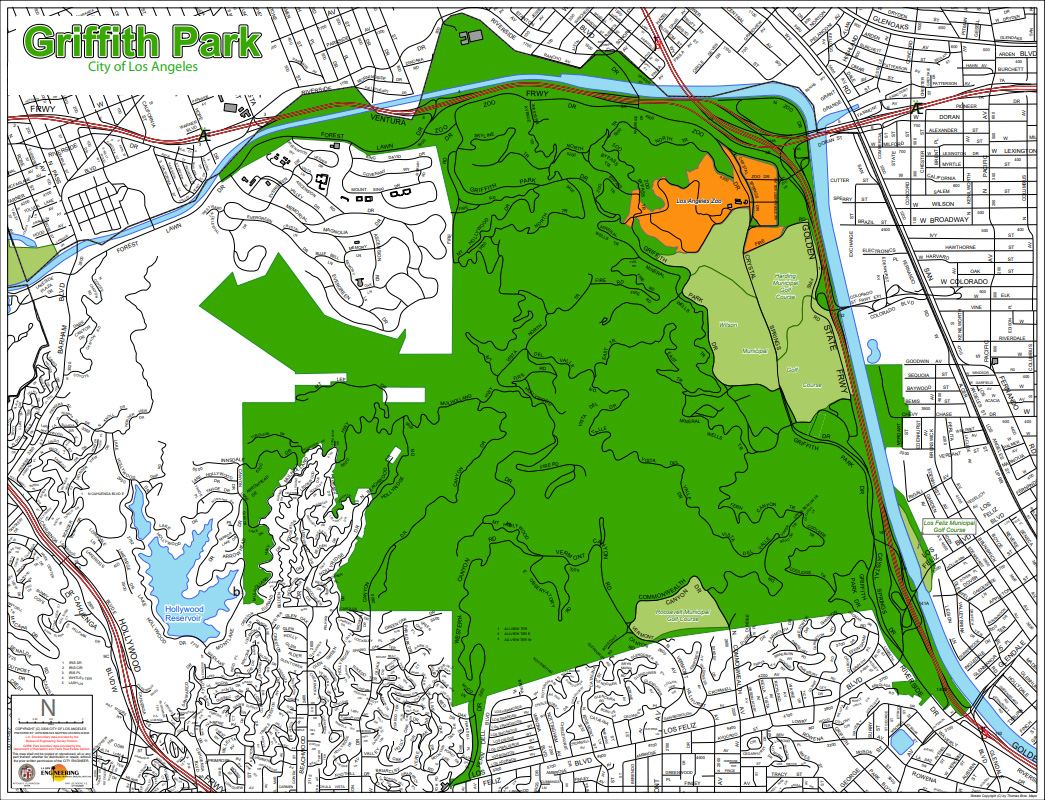
gpmap-g

Griffith Park Line Map

Click on image to view larger PDF

map 2020

Map of the Griffith Park Master Plan

Click image for larger PDF version.

Courtesy Los Angeles City Department of Recreation and Parks.

map 2020

October 2020 P-22 Day Map

In 2020, P-22 Day, celebrating Griffith Park’s own cougar, was a virtual event. Read more about it in our News article and at SaveLACougars.org

Translate »